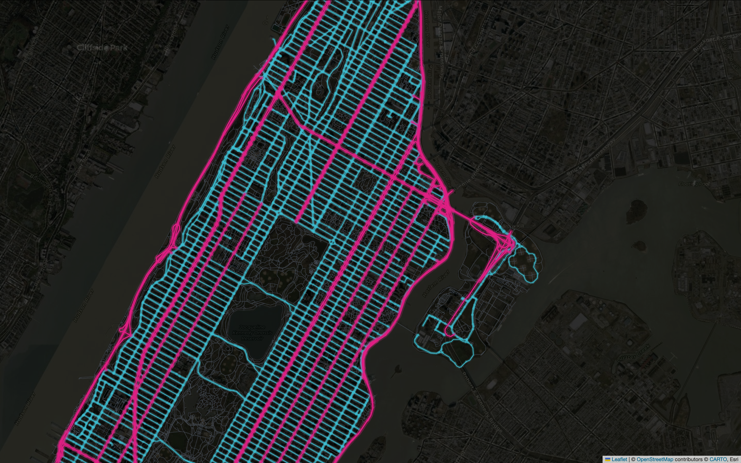
THE NEW SCIENCE OF
MAPS
by MILAN JANOSOV
A new discipline is emerging
The New Science of Maps is a learning platform for modern geospatial data science — where Python, machine learning, and spatial thinking meet.
Built for analysts, researchers, and curious minds who want to work seriously with spatial data. Not another GIS tutorial series. A structured path through the tools, methods, and ideas shaping how we see the world from above.
Maps are no longer just navigation tools. They are the primary lens through which we understand cities, human behavior, climate, infrastructure, and opportunity — the new science of maps is becoming the science of everything.
Explore the courses, books, and learning journeys now — from Urban Geospatial Analytics to GeoAI, each built from first principles on real data.